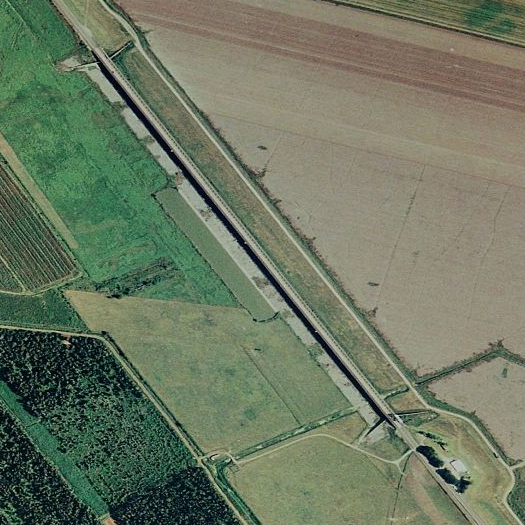
[1. The Morganza Spillway, the 3,900-foot control structure that sits at the north end of the Morganza Floodway, in drier times. It “consists of a concrete weir, two sluice gates, seventeen scour indicators, and 125 gated openings”.]
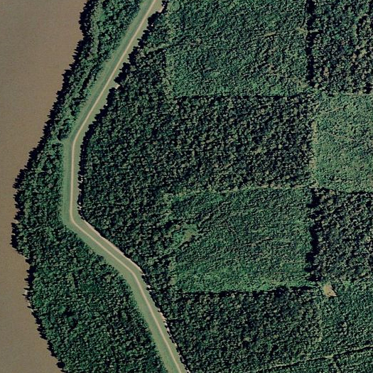
[2. A levee on the western side of the Morganza Floodway, near Krotz Springs.]
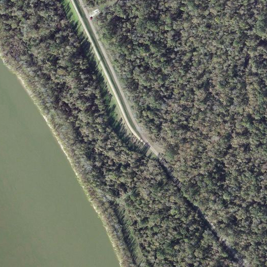
[3. The southern terminus of the Morganza floodway, somewhere around 10 miles south of Krotz Springs.]
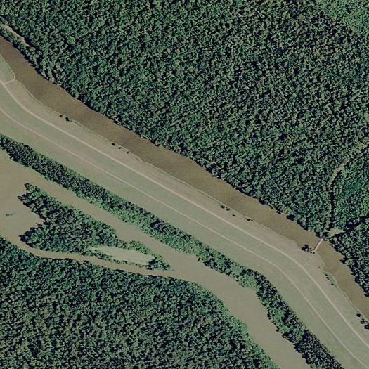
[4. The levee on the eastern side continues far south of the western levee, as the Morganza Floodway joins the West Atchafalaya Floodway to become the Lower Atchafalaya Basin Floodway. When floodwaters come this far south on the Morganza Floodway, they stop moving solely southward, and begin to spread both south towards the Atchafalaya Delta as well as back north up the route of the West Atchafalaya Floodway, as detailed in this predictive map from the Army Corps of Engineers. Eventually, as they exit the lower floodway, they make their way around the pictured eastern levee and turn north a second time, so that the levee is eventually a thin, isolated dry strip.]
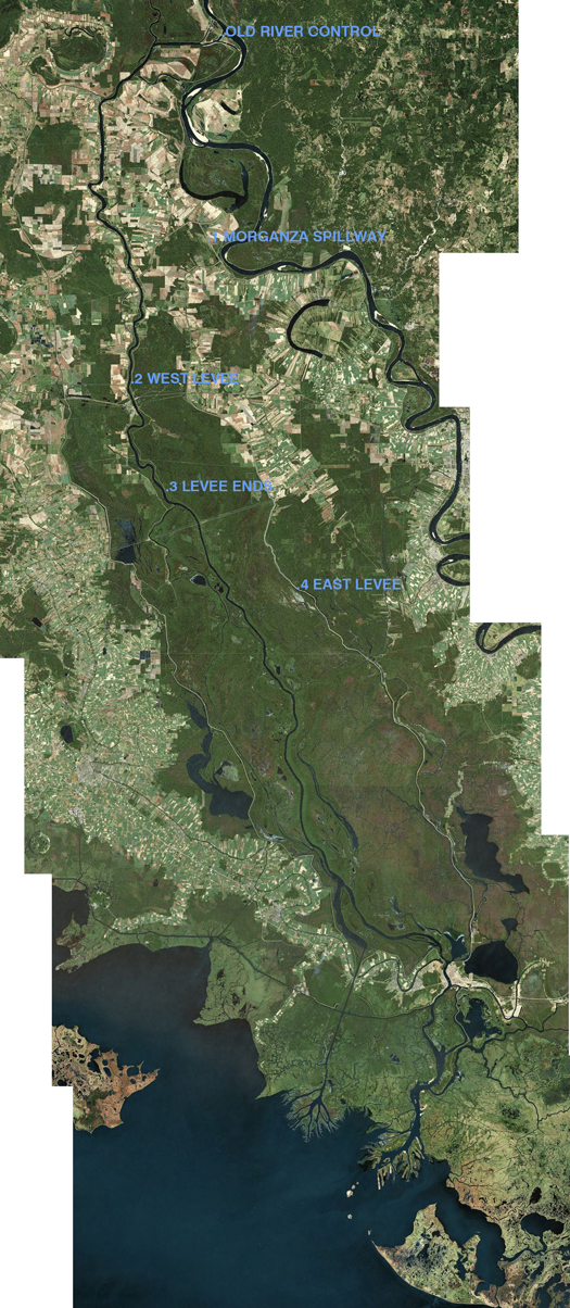
[Satellite view of the Atchafalaya Basin, including all three floodways.]


[…] series, which properly begins with a series of Atchafalaya-related posts from June: 1973, morganza floodway, and red river landing. I'm going to try to avoid repeating things already explained in those […]
[…] the Morganza Spillway was opened this past May, releasing Mississippi floodwaters into the Atchafalaya Basin, those […]
[…] by the Army Corps of Engineers. The Atchafalaya Basin system is made up of three floodways: the Morganza Floodway (fed by the Morganza Spillway), the West Atchafalaya Floodway, and the Lower Atchafalaya Floodway; […]