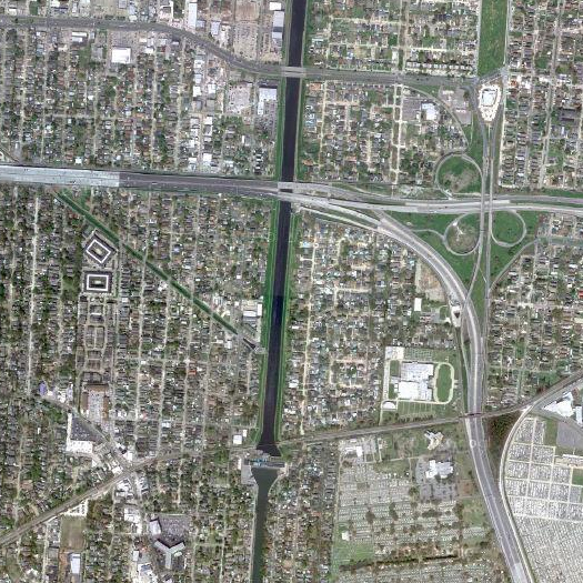
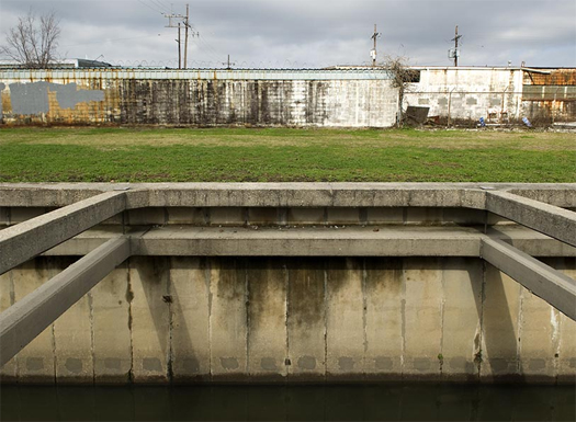
[Lafitte Outfall Canal, one of the three massive concrete slits that drains New Orleans into Lake Pontchartrain in severe rainfall.]
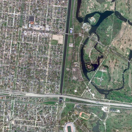
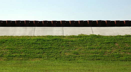
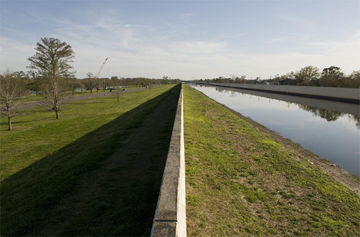
[Orleans Canal]
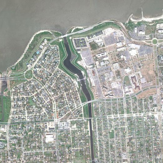
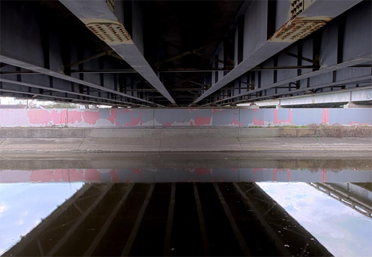
[The London Avenue Canal; photograph at I-10 crossing.]
[Photographs of New Orleans’ outfall canals, by reader Ramiro Diaz (and supplemented with Google Maps imagery). Diaz works with Waggonner Ball Architects, a New Orleans-based firm which has been doing a great deal of work on water management, infrastructures, and public space in New Orleans since the Katrina disaster, including sponsoring the “Dutch Dialogues”, a series of “extended interactions” between “Dutch engineers, urban designers, landscape architects, city planners and soils/hydrology experts” and their Louisianan counterparts. More photographs can be seen on Diaz’s website.]


Diaz’s photos are outstanding, and combining them with the satellite images creates a wonderful multidimensional perspective. Thank you for posting these and assembling so much great content lately on waterways.
After the Katrina this things were at last taken serious, here in Holland we have fighting the water centuries long and we have known the danger.