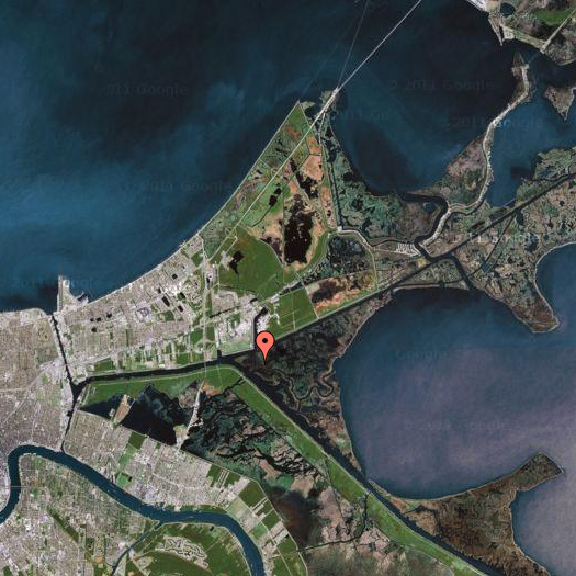
[The site of the Inner Harbor Navigation Canal (IHNC) Lake Borgne Surge Barrier, at the intersection of the Gulf Intercoastal Waterway and the Mississippi River Gulf Outlet; more detail on this Army Corps of Engineers project map.]
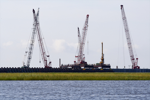
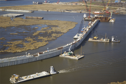
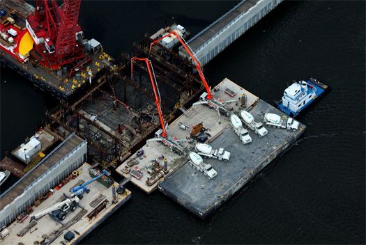
[Building a bigger wall: the Surge Barrier was the largest design-build project in the history of the Army Corps; construction began before design was complete, as a result of the pressing need to complete the barrier by the target date of 1 June 2011. According to Dredging Today, the Barrier is “more than two miles long, 25 feet high and contains enough steel to build eight Eiffel Towers”:
“During Hurricane Katrina’s storm surge, a “funnel” created by the levees along the Gulf Intracoastal Waterway and the levees along the Mississippi River Gulf Outlet allowed the surge that came across Lake Borgne to push into the heart of the city, and contributed to the failure of the section of the Industrial Canal that connects the Mississippi River to Lake Pontchartrain.
By moving the surge barrier — the primary protection against flood surge — eight miles east of the city, the hope is the structure will stop much of any storm surge that could funnel into the city, Sinkler said. Sealing off this area should take pressure off those internal floodwalls, which have also been strengthened since Katrina…”]
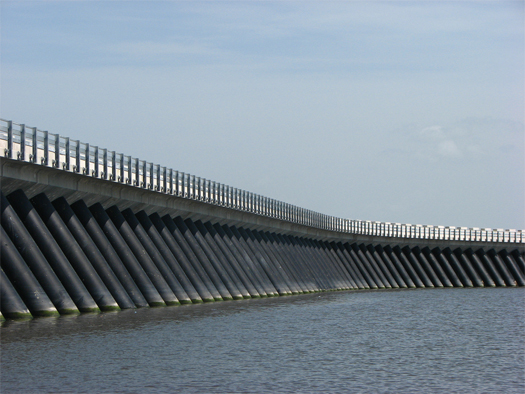
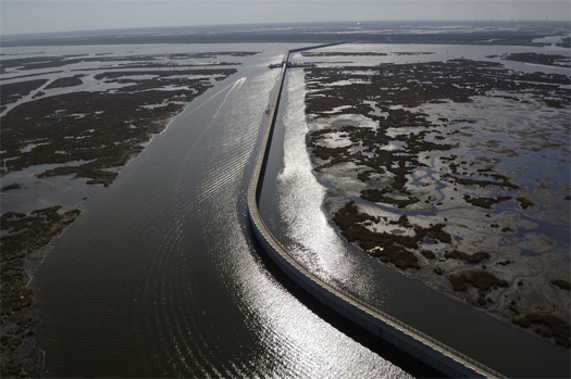
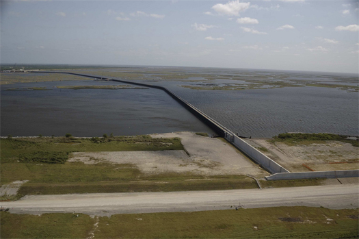
[The Surge Barrier at the end of May, just before the completion of construction. All photos (except for the screenshot from our partial atlas of Mississippi Floods) are from Team New Orleans’ flickr set; if you can’t get enough of the Surge Barrier, this panorama doesn’t fit well on mammoth, but is definitely worth a look..]

