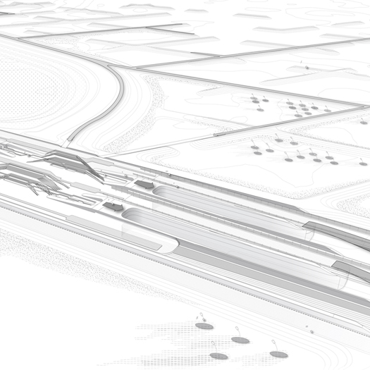
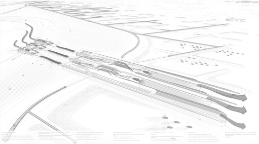
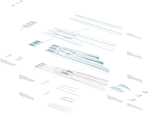
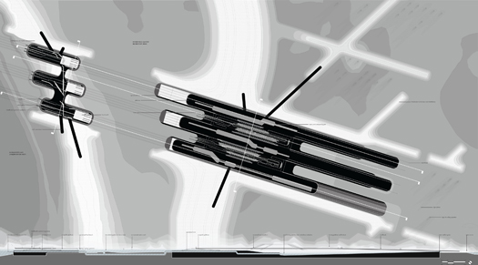
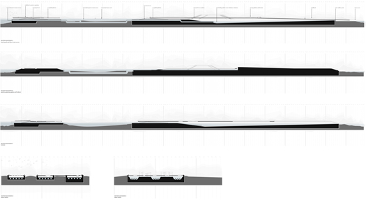
[Detail from Andrew tenBrink’s “Staging Ground”; all images in this post are from “Staging Ground”; most of them can be clicked on for larger images with captions and more readable annotations.]
“Staging Ground” is the thesis project of recent Harvard GSD graduate Andrew tenBrink. In it, tenBrink explores a series of topics which make frequent appearances at mammoth: delta urbanism (in this case, the inverted Sacramento-San Joaquin River Delta of central California), climate defense systems (here, levees, polders, dikes, and weirs), post-natural ecologies, and, perhaps most pertinently, what tenBrink calls “the agency of infrastructure”.
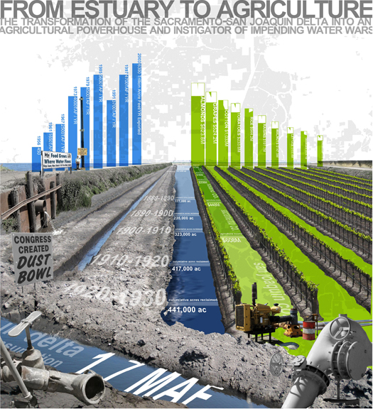
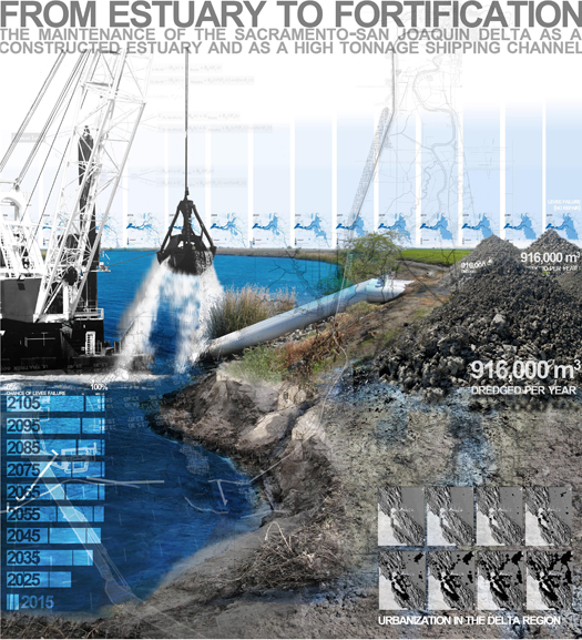
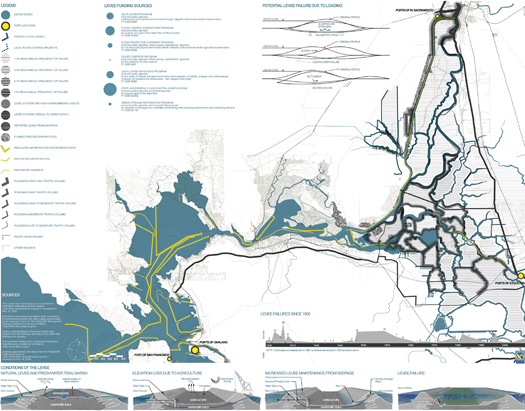
The existing Delta landscape is highly artificial, having been transformed since the 19th century by the construction of a system of levees that restrict floodwaters — the delta’s natural inclination being to flood regularly — and which allow Californians to make use of the rich agricultural soils. Of course, as farming began to exhaust nutrients in the soil (and absent floods could no longer bring fresh deposits from upstream), the farmed polders have correspondingly subsided. This necessitated further enhancement of the levee fortifications, which spurred the development of technologies such as the “Clam Shell Dredger” (PDF) for deepening channels and raising levees, and continues today in an arms race between failure and reinforcement.
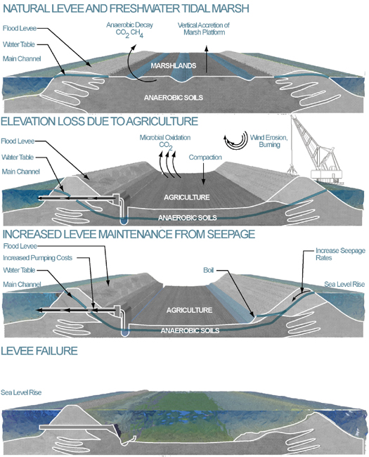
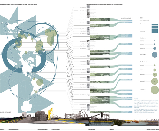
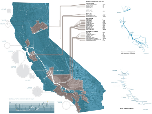
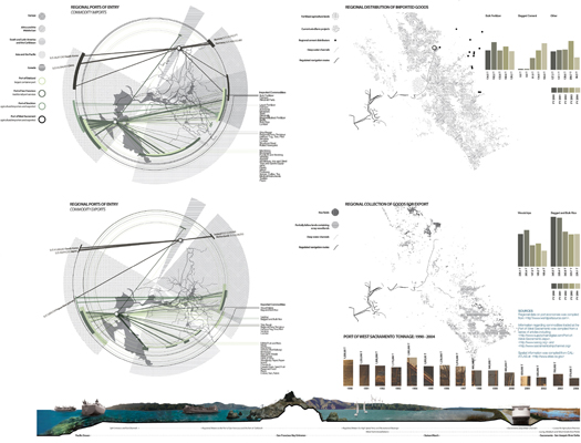
And agriculture is not the only industry to have transformed the Delta: the Delta is also home to five “significant ports of entry for global trade”, such as the inland Ports of West Sacramento and Stockton, and so it is trafficked by containers, ships, and goods from that trade. Moreover, the Delta is one of the primary battlegrounds for California’s raging “Water Wars”, due to its central location within the state’s water distribution system. A USGS document (PDF) describes that position:
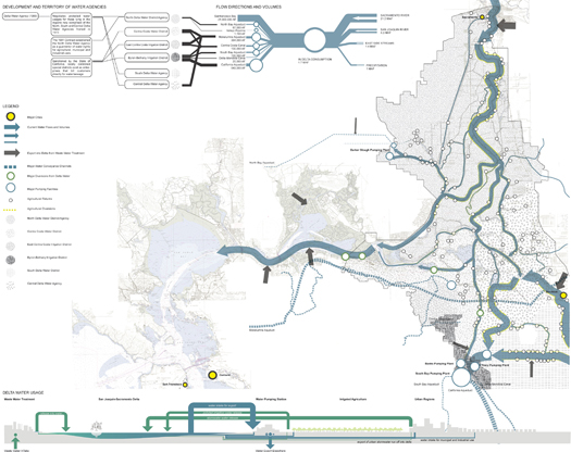
The Delta receives runoff from about 40 percent of the land area of California and about 50 percent of California’s total streamflow. It is the heart of a massive north-to-south water-delivery system whose giant engineered arterials transport water southward. State and Federal contracts provide for export of up to 7.5 million acre-feet per year from two huge pumping stations in the southern Delta near the Clifton Court Forebay. About 83 percent of this water is used for agriculture and the remainder for various urban uses in central and southern California. Two-thirds of California’s population (more than 20 million people) gets at least part of its drinking water from the Delta.
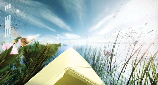
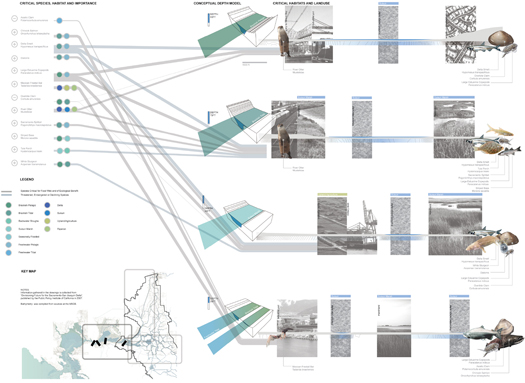
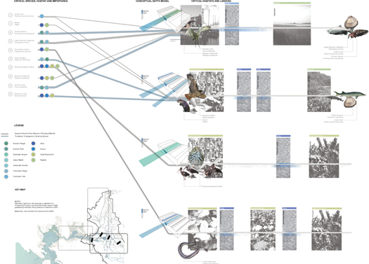
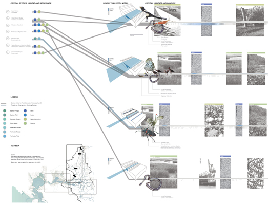
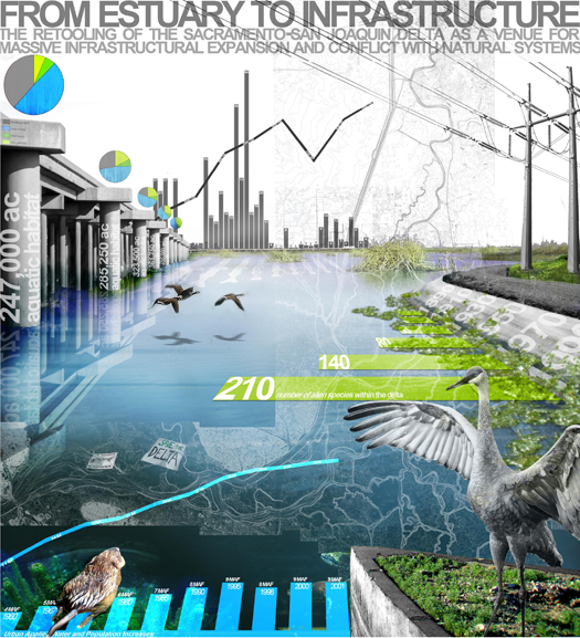
Between them, these three industries — agriculture, shipping, and water — have significantly altered the Delta as habitat, producing a post-natural ecology where industrial processes are intertwined with a rich collection of flora and fauna (which is increasingly composed of alien species). The intersection of these industries, and their corresponding infrastructural support systems, has also produced a state of intense infrastructural crisis: levees are undermined from below by sinking water tables; saline intrusion — exacerbated by pumping required to maintain water tables — threatens the productivity of farmland and the freshness of drinking water; and sea level rise threatens the entire system.
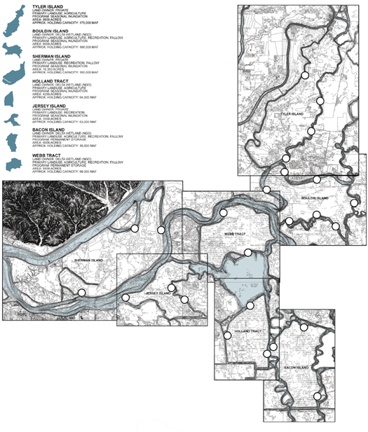
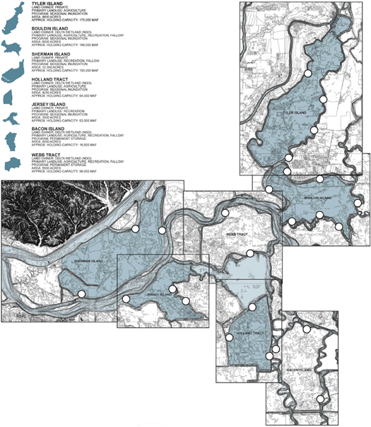
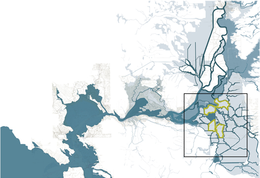
In response to this crisis, tenBrink proposes re-imagining the levee system. More specifically, he suggests that four particular polders — Webb Tract, Bolden Island, Holland Tract, and Bacon Island — could be re-purposed, as tenBrink tells mammoth, to “effectively absorb high delta waters, to the benefit of the entire delta system”. This re-purposing is accomplished primarily by re-configuring the fifty-one miles of levees that surround those four polders, and, in particular, the “points of transference of water through the new levee system and the levee edge itself”. (Given that the entire delta has nearly eleven hundred miles of linear infrastructures, this is a relatively efficient proposal.) This re-configuration requires managing a complex chain of casuality between infrastructure, ecologies, and hydrology, as tenBrink explains:
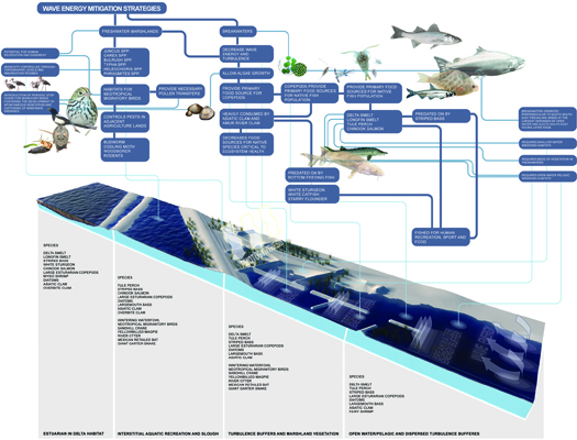
The polder islands are intricately connected to a delicate land/water dynamic, and must be dealt with cautiously. These large tracts of land often range between five and fifteen square miles. When flooded, they pose serious danger for further erosion of adjacent levees. Wind easily creates high amounts of wave energy in shallow expanses of water; if unchecked, this rapidly erodes nearby dikes, instigating an unstoppable domino effect of levee collapse. Levee edges must be re-purposed to mitigate wave energy while curating new ecologies that aid in the development of robust aquatic habitats.
But the entry of the delta waters into the polder islands remains a critical point of interest. This enormous infrastructural operation is often invisible to the public eye, [and so] the registration of hydraulic and mechanical movements is an important overlay in exposing the story of the Sacramento-San Joaquin River Delta.
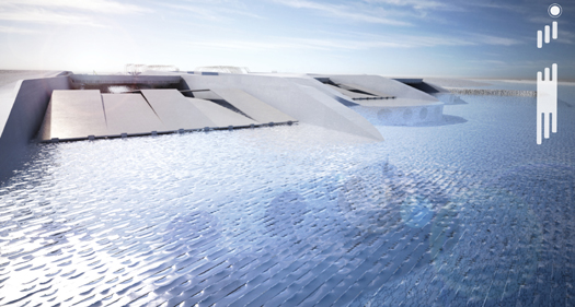
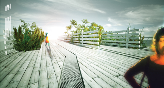
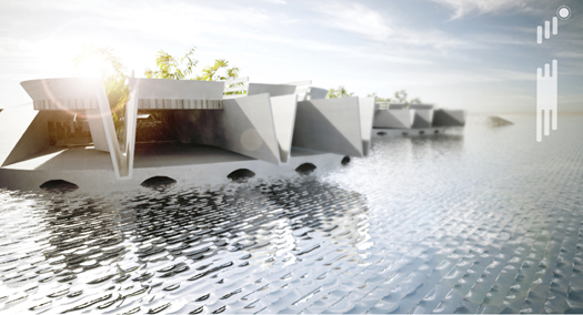
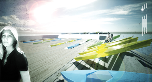
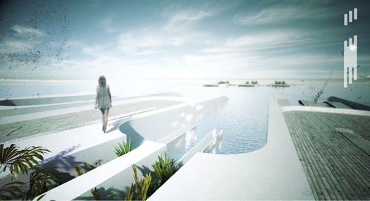
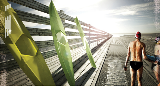
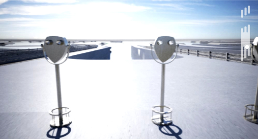
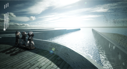
The infrastructural piece as a whole is [designed] to expose [pieces of that story]. The base structure provides a footing for the water control above. The base largely remains unexposed with the exception of protrusions allowing occupants to be elevated to an advantageous viewing point. A habitable surface resides above the base structure. Interlocking with the structure itself, the platform is the primary structure occupied.
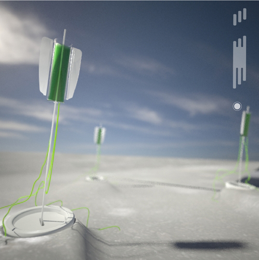
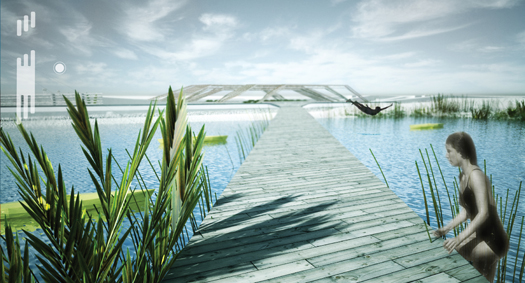
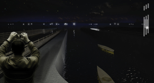
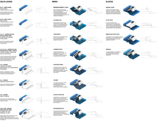
The transport of water is always a calculated practice; subterranean tubes allow for a precise option of transport between delta, interstitial aquatic zone and refuge. The device enabling water movement through the levee and base structure is the operable weir fitted with a mechanized central wall, adjusting the weir height in response to the desired water movement. Planting siphons pull water into the platform, allowing for emergent vegetation arising at varying water levels. The internal edges of the levee are buffered with breakwaters, [absorbing] wave energy and allowing algae to grow. Algae are a critical supplier of biomass for the delta ecosystem. It is the primary feeder of the food chain, and when wave energy is high, it cannot grow. To assist in their initial growth cycle, algae broods are put into place, which provide protection for reproduction until their release for consumption. These broods are interspersed, acting as a functional and aesthetic component of the design. These are fitted with LED’s, registering their function from the platform at night.
The aim of this intervention is to create a more resilient infrastructure, one which, unlike the current system of mono-functional fixes for individual problems, produces efficiencies and provides a flexible framework for the development of future alternatives through the overlap of flood control, climate defense, logistics, recreation, and habitat creation. “It is this staging ground”, tenBrink hopes, “upon which new adaptations might take place”.
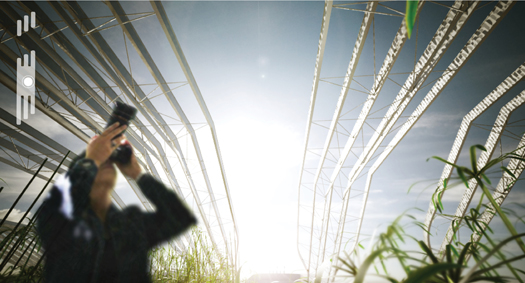
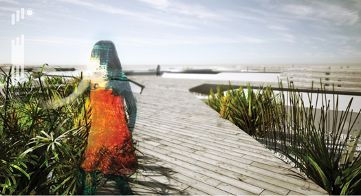
[Click through for many more images from “Staging Ground”; On his blog — also entitled Staging Ground — tenBrink promises to keep readers posted on his on-going research, currently into islands in the South China Sea: “ghost states”, “titanium breakwaters”, “tactical coral reef farms”, guano, submerging atolls, and more…]


[…] I’m always on the look out for pretty pictures. Staging Ground is a thesis project by recent graduate Andrew Tenbrick (?) a former master’s student in Landscape Architecture at the GSD. His diagrams are amazing, for me the best part of the project. The analysis is thorough to say the least, bordering on exhaustive but always artistic. You can find more of his project here. […]
[…] Write up at m.ammoth […]
[…] 17.- Staging Ground http://m.ammoth.us/blog/2010/09/staging-ground […]
[…] at Harvard that caught our eye — we published a piece on one of them, Andrew TenBrink’s Staging Ground, in the fall, and have a couple more that we still intend to write about. One project that fell […]