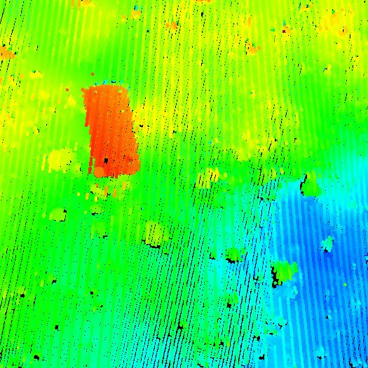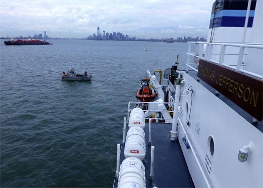
[A lost cargo container located by the NOAA ship Thomas Jefferson (below, in operation post-Sandy) on the bottom of the New York harbor.]
After Sandy, ports along the east coast path of the hurricane were closed, including the Port of Virginia in Hampton Roads and, of course, the Port of New York and New Jersey, in large part because the underwater approach terrain surrounding those ports — usually so meticulously groomed by dredgers to match the lines delineated on NOAA’s navigational charts — had suddenly been rendered uncertain, potentially containing hazardous underwater debris or blocked by storm-induced shoaling. In order to re-open the ports, NOAA deployed its “navigation response teams” to urgently re-chart harbor bathymetry, in a vital act of emergency landscape measurement. And after the surveys are complete, the emergency dredging begins…
[At Free Association Design, Brett Milligan recently discussed the Army Corps of Engineers’ “national unwatering SWAT team” efforts, also post-Sandy, to remove “copious amounts of… unwanted water” from New York’s buildings and streets.]


